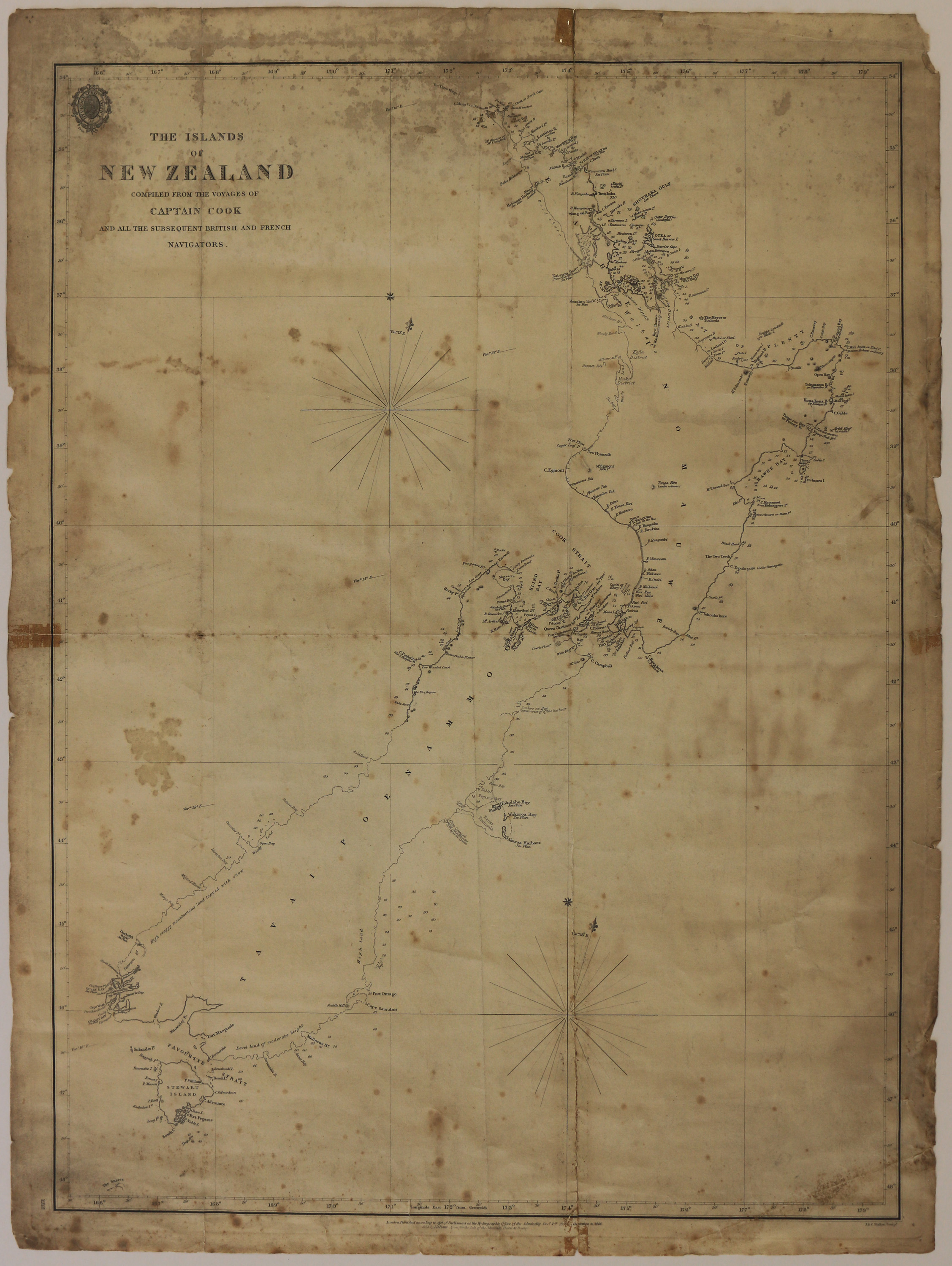
The Islands of New Zealand compiled from the voyages of Captain Cook and all the subsequent British and French Navigators
Digital Image
Identifier: D00100001_b
Dates
- 1846
Creator
- Walker , J & C (Engraver, Person)
Conditions Governing Use
This item has no known copyright restrictions. Please reference Invercargill City Libraries and Archives A0001 S00100001_b when re-using this image.
Existence and Location of Copies
To obtain a high resolution copy of this image please contact the Archive.
Physical Description
Paper.
Dimensions
H 685 mm x W 508mm
Map Notes
London. Published according to Act of Parliament at the Hydrographic Office of the Admiralty December 1st 1838. Corrections to 1846. Sold by J.D. Potter Agent for the Sale of the Admiralty Charts 31 poultry.
J and C. Walker Sculpt.
Chart 1212.
J and C. Walker Sculpt.
Chart 1212.
Creator
- Walker , J & C (Engraver, Person)
- F.G. [Frederick George] Hall-Jones OBE Collection | Collected Historical Maps, 1793 - 1986, 1793, bulk: c.1824 - 1986 | Maps of Southland, Otago, and New Zealand, 1840 - 1955, bulk: 1840 - 1856, 1917, 1955 | The Islands of New Zealand compiled from the voyages of Captain Cook and all the subsequent British and French Navigators, 1846
Repository Details
Part of the Invercargill City Libraries and Archives Repository

